Stema Systems supplies hydrographical and geophysical related measurement systems.
Read moreDear Silas user, The Silas V3.11.1.0 release contains improved versions of both Silas Acquisition and Silas Processing. Stema has added […]
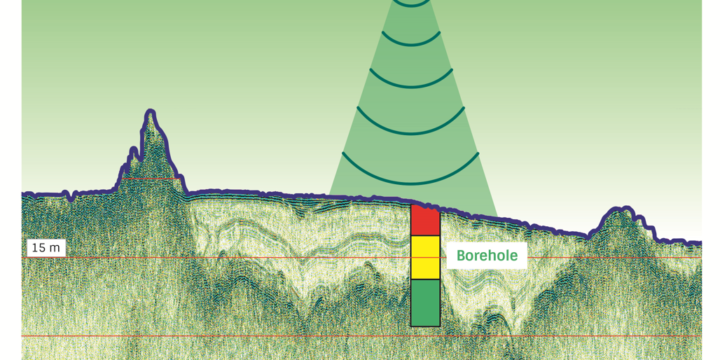
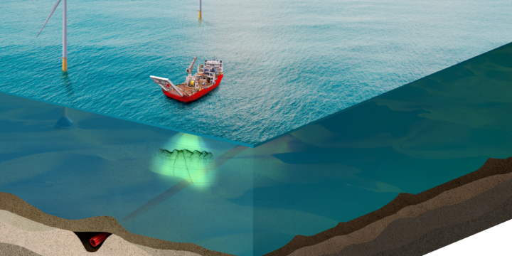
Silas 3D is a complete data acquisition, processing and interpretation system. We capture the Depth of Burial of objects such […]
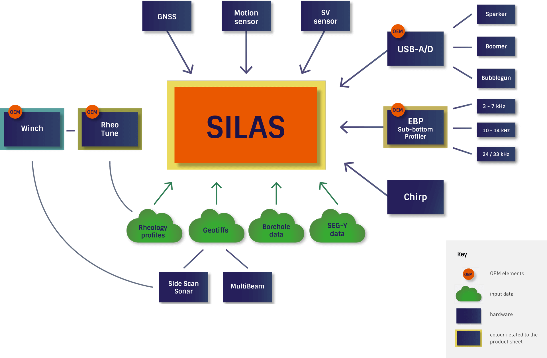
SILAS software has been developed for users of acoustic systems who want high detail (ultra high resolution) from their acoustic measurements. Our users are hydrographic surveyors, geologists, port authorities, governmental organizations and scientific institutes. Dredging- , Hydrographic companies and Port Authorities use Silas to obtain more information about water depth, silt layers and sub bottom characteristics. Besides sediment quantity/layers, also the sediment type and sediment characteristics can be established, as well as information on possible obstacles in the bottom. Geologists use Silas in combination with profilers, boomers or sparkers, to obtain detailed information for sub bottom sediment classification.
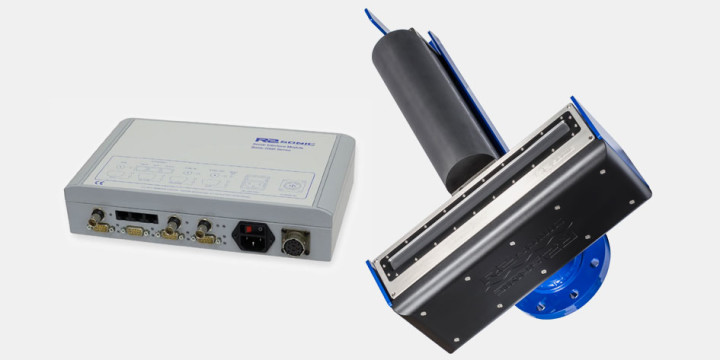
Read moreStema RheoTune for setting of the nautical depth doing so by measuring the yield stress, viscosity and density of the fluid mud. This enables portmanagers to save costs on dredging.
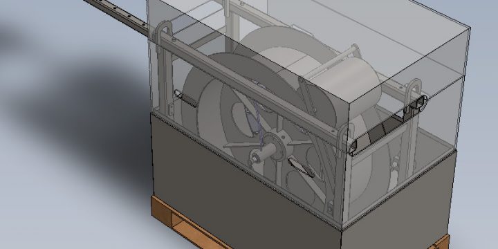
The functionality of the winch benefits from the integration of the dedicated Stema Systems software that allows the winch to […]
R2Sonic 2024 Wideband Multibeam Echosounder
0.5 x 1.0 degree angular resolution, 100 m depth rating, 500m range multibeam, 160 deg swath width
Silas 3D is a complete data acquisition, processing and interpretation system. Capable of mapping the Depth of Burial of objects […]